Book accommodation
Accommodation
Book accommodation
Accommodation
 Ski report
Ski report
Ski report
 What's on
Event
What's on
Event
 Webcam
Webcam
Webcam
Storenos – return trip 4 km
Storenos - 1181 m.a.s.l.
The highest of the summits marked from central Hovden. Follow the river Otra upstream on gravel road to "Hovden Høyfjellsenter", then on walkway towards the ski centre. Continue on gravel road past the field Lundebuteigen to the treeline. Follow the trail to the Falkaskaret pass and proceed to the summit.
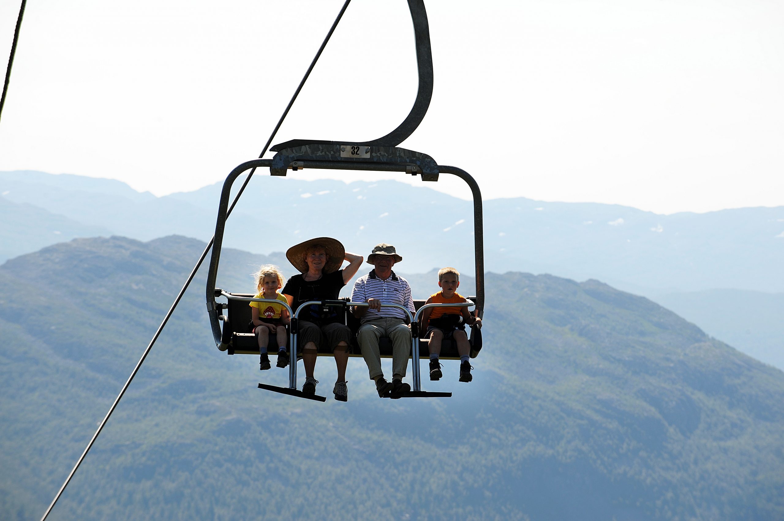
Normal hiking time is around 2 hours up and around 1 hour down. You may also take the chairlift, from where there is an easy 10-minute stroll to the summit/viewpoint. Going down, you may follow the service road through the ski centre.
If you feel like taking a longer hike when you reach the viewpoint, you may continue north towards the mountain Støylsskarnuten. The path has blue markings until you reach the red, T-marked Sloaros-Hovden trail. Follow this trail back to Hovden.